SportsterDoc
Member
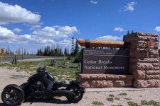
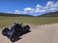
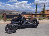
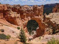
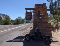
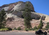
When I left this morning (5:20 AM) I was thinking about making this a day and a half ride, so that I could ride Zion in the cool of the morning (tomorrow) and return to Las Vegas mid-day, but son has issues with his F250, so reverted to a day ride.
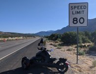
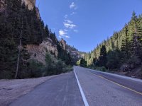
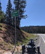
545 miles
Just over 15 hours
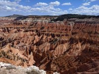
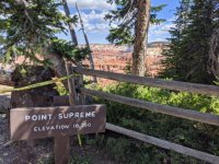
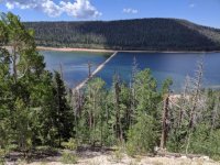
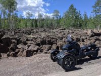
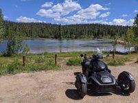
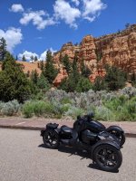
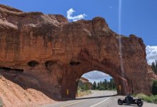
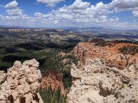
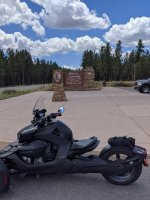
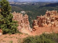
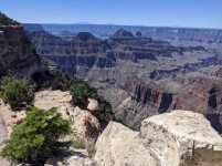
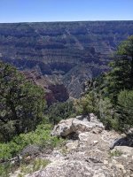
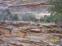
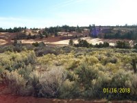
First group attached
545 miles
Just over 15 hours
First group attached
 Very nice. ......:thumbup:
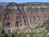
 hyea: He's covered it pretty comprehensively in this thread: