bayoumanPIBE
New member
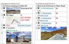
I can use Google maps to plot routes, but I was wondering if anyone has come across something cooler where you can see gas stations, rest stops and other things? Even though I know where to go, I would like to plot out how long I drive and spots where I could rest, etc..
I'd like to hear if anyone even goes that far in prepping and if so, I'd like to read what you do. :bowdown:
I'd like to hear if anyone even goes that far in prepping and if so, I'd like to read what you do. :bowdown:
")