There were many reasons for the change of the site software, the biggest was security. The age of the old software also meant no server updates for certain programs. There are many benefits to the new software, one of the biggest is the mobile functionality. Ill fix up some stuff in the coming days, we'll also try to get some of the old addons back or the data imported back into the site like the garage. To create a thread or to reply with a post is basically the same as it was in the prior software. The default style of the site is light colored, but i temporarily added a darker colored style, to change you can find a link at the bottom of the site.

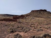
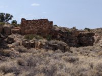
![26-Cape_Royal_Road[1].jpg 26-Cape_Royal_Road[1].jpg](https://www.spyderlovers.com/data/attachments/100/100023-3abc91123330823cea153a045d73b777.jpg?hash=UronL8lt_X)
![A9-Utah_highway_14_lava[1].jpg A9-Utah_highway_14_lava[1].jpg](https://www.spyderlovers.com/data/attachments/98/98211-fbed833c6b110c0dd8432766807aac7a.jpg?hash=2T6uWJach-)
![A10-Duck_Creek_pond[1].jpg A10-Duck_Creek_pond[1].jpg](https://www.spyderlovers.com/data/attachments/98/98214-cb2d88df7e0e5f3eceec0a6a548d7abd.jpg?hash=vyIXoIIO7u)
![A11-Utah_highway_12_Red_Canyon[1].jpg A11-Utah_highway_12_Red_Canyon[1].jpg](https://www.spyderlovers.com/data/attachments/98/98217-f4435cdab2f92690aca1a6c3ab7e875d.jpg?hash=DS0z4zUuYV)
![A15-Bryce_Cyn_overlook[1].jpg A15-Bryce_Cyn_overlook[1].jpg](https://www.spyderlovers.com/data/attachments/98/98223-be691fc9a26e39bc11d84b7dfdb3e313.jpg?hash=LJGgmtZwSr)