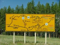
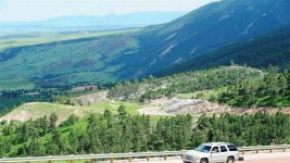
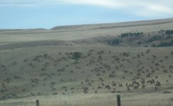
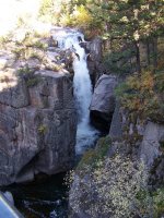
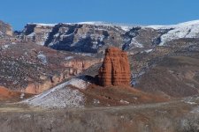
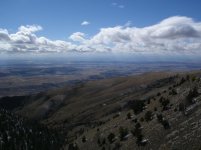
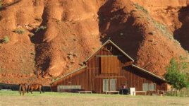
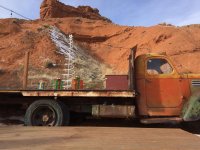
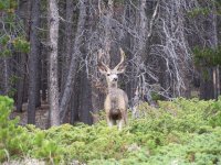
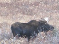
We all have favorite local roads, and I am an unapologetic cheerleader for the areas near where I live in Sheridan, Wyoming. I look out my window and the Bighorn Mountains are right there. I am on the east side of the range, in between Highways 14 and 16, which are the two paved roads that go over the mountains, and all my descriptions are traveling east-to-west. Hwy 16, which goes out of Buffalo, has gentle grades, is mostly forested, and goes over Powder River Pass, altitude 9,666 feet. The only switchbacks are where it comes down the west side of the mountains through Tensleep Canyon, which is a prime destination for rock climbers. The best craft brewery I have ever visited is just past the little town of Tensleep, and if you camp, you can actually stay on-site for just a few bucks a night. The place is a converted barn right up against the red rock bluffs, they often have talented local live music (on an old flatbed truck, which is the stage), and delicious fry bread on weekends in the summer. Hwy 14, which goes up from Dayton, has some steep grades, switchbacks on either end, and the drive up the face of the mountains is reminiscent of taking off in a small plane; the lowlands drop away quickly and the panoramic view is breathtaking. It can cause issues with folks who don't like heights, but there are good guardrails and several places to pull over to allow faster traffic to go by so you don't feel like you're being pushed. One turnout on the way up (Sand Turn) is a favorite place for hang-gliders to launch, and the road traverses Granite Pass at 9,033 feet. Up top is Bear Lodge and the road diverges. You can choose to go down 14 or 14A. 14 features open parks (as in large grassy areas, not Yogi & Boo Boo hangouts), there is a great waterfall (Shell Falls), and the trip down Shell Canyon makes one feel like he's in a John Ford movie. The canyon is very wide, with enormous rock formations and upon exiting the canyon, you will encounter a barren, almost desert landscape with some dramatic buttes and mesas. If you choose 14A, it is pretty twisty and steep, but the view as you break out and can look down on the plains almost doesn't seem real. Be aware, though, there are several miles of HORRIBLE surface conditions on this highway, as it is covered in snow and closed seasonally, and doesn't get repaired properly in the few months a year it is open. Near the bottom of 14A is Bighorn Canyon, a large recreational area (where you can go on a boat tour), and the Pryor Mountain wild horses. There are moose, elk, whitetails, mule deer, pronghorn, and often livestock on either 14 or 16, and be aware that they do not obey pedestrian rules. An incredible day's ride is to make the "loop"...go up Hwy 14 starting in Dayton, turn south on 16/20 at Greybull on the other side, then head east over the mountains on 16 from Worland ending up in Buffalo. I've made the offer before and will make it again here; anyone coming out this way, please feel free to contact me and my wife and I will be happy to play tour guide or just point you towards some of the cool sights in the area. Safe travels!
